Cars Can Draw a Map Itself
Autopilot and driverless technology is undoubtedly the hottest car black technology. It uses video analysis and radar sensing technology to sense the surrounding conditions. However, these algorithms are designed in advance, so it is difficult for some unexpected situations.
However, a very powerful autopilot platform has emerged. The highlight of this system is its own neural network. Like human beings, it has powerful learning functions. If the system is connected to the network, the learning data will be uploaded to the cloud, so that other vehicles can download data for simultaneous learning.
For divers, we can't always know in advance whether the road ahead is congested. It is hard to know which roads are clear and where we can detour. It is often after the traffic jams that the traffic broadcasts "this section is crowded, please bypass." A car company has developed a “map self-painting system” by optimizing big data.
Whether you are before a trip or on the road, this system can use the car camera and GPS to collect road information and position data while driving, and draw a high-precision map within a 5cm distance through computer processing, which can assist the automatic driving system and effectively avoid congested sections.
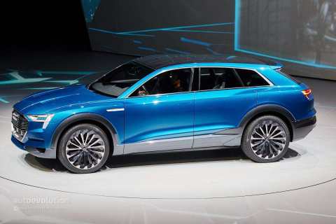
At the North American Auto Show, a hydrogen-powered car was shown, which could be filled with hydrogen in 4 minutes and then provided a maximum cruising range of 600 km. The acceleration process from 0 to 100 km/h takes less than 7 seconds and the speed is limited to 200 km/h.The weight of the battery is only 60kg.
No comments:
Post a Comment